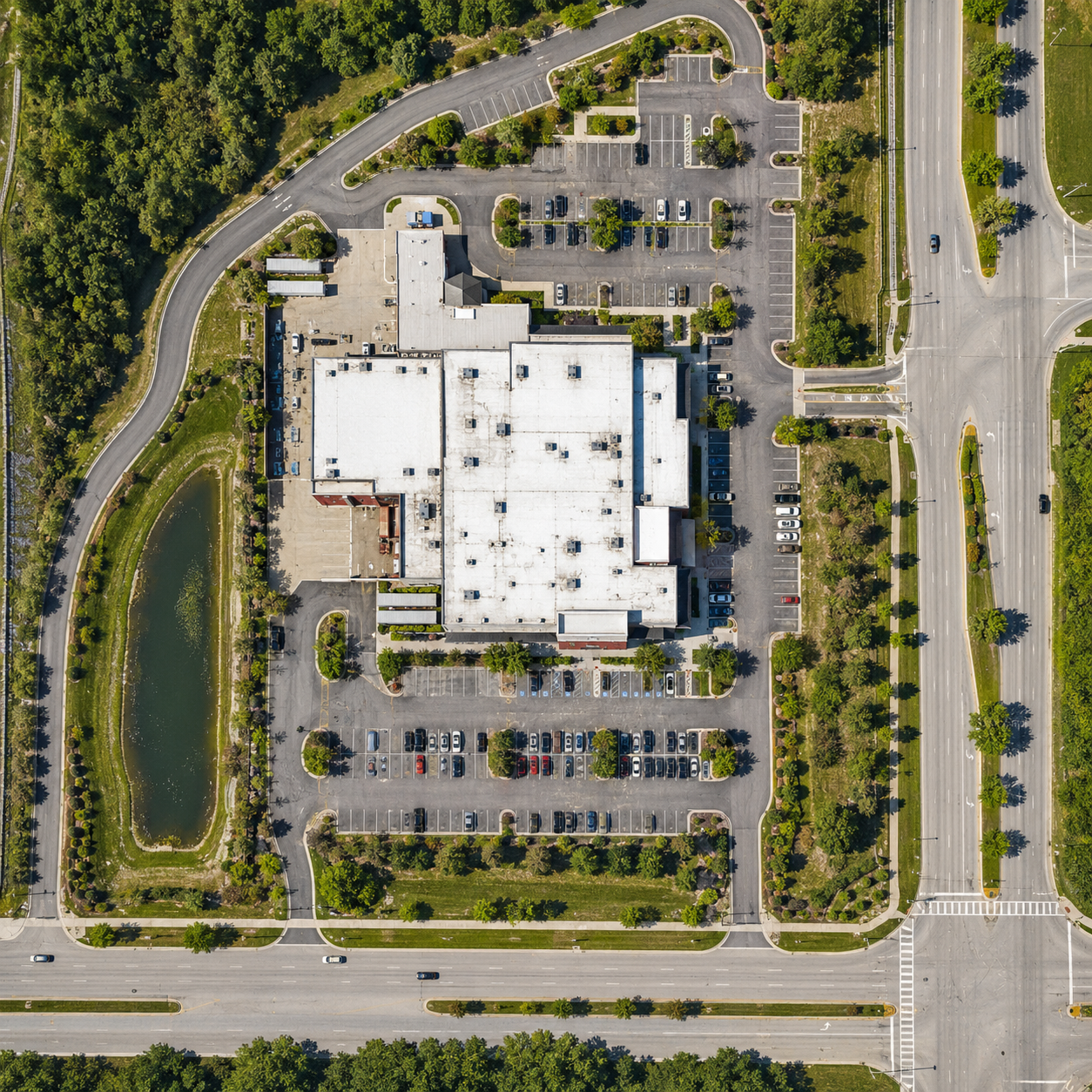
Orthomosaic mapping
Detailed, centimeter-accurate georeferenced orthophoto.
Learn more
Aerial imagery, orthophoto material and 3D mapping support for terrain analysis, planning and project documentation.
Detailed, centimeter-accurate georeferenced orthophoto.
Learn more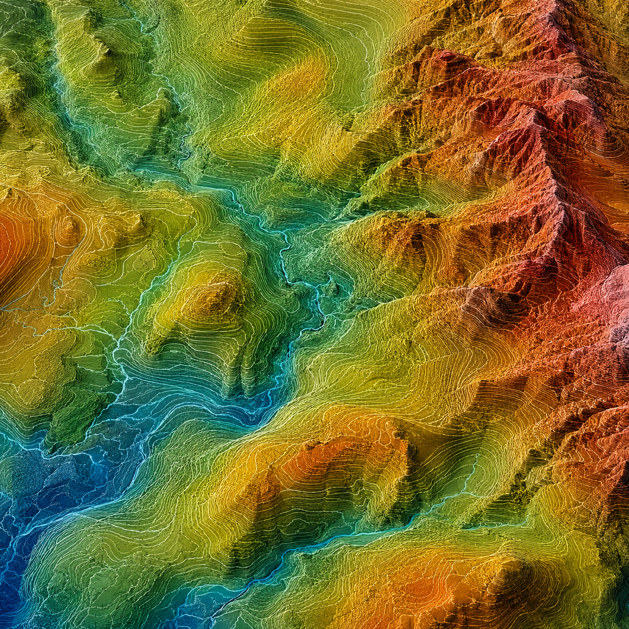
Accurate and informative surface model and a topographic map.
Learn moreA detailed three-dimensional representation of a site or objects.
Learn more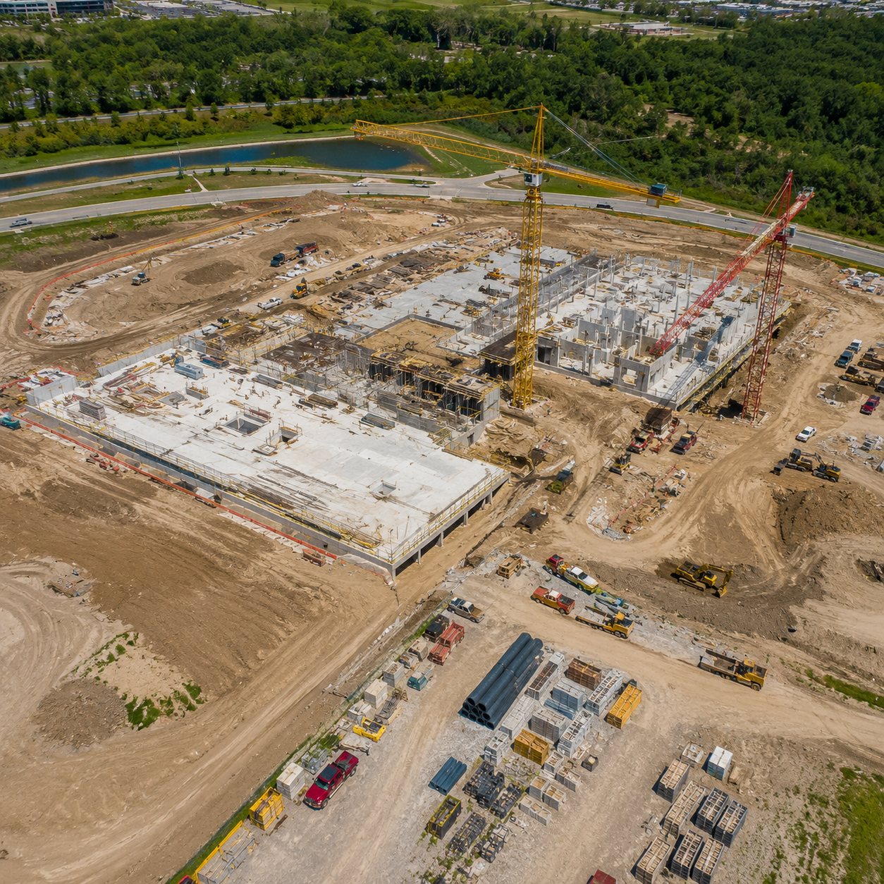
Regular site monitoring using orthophotos, maps or aerial photo-video.
Learn more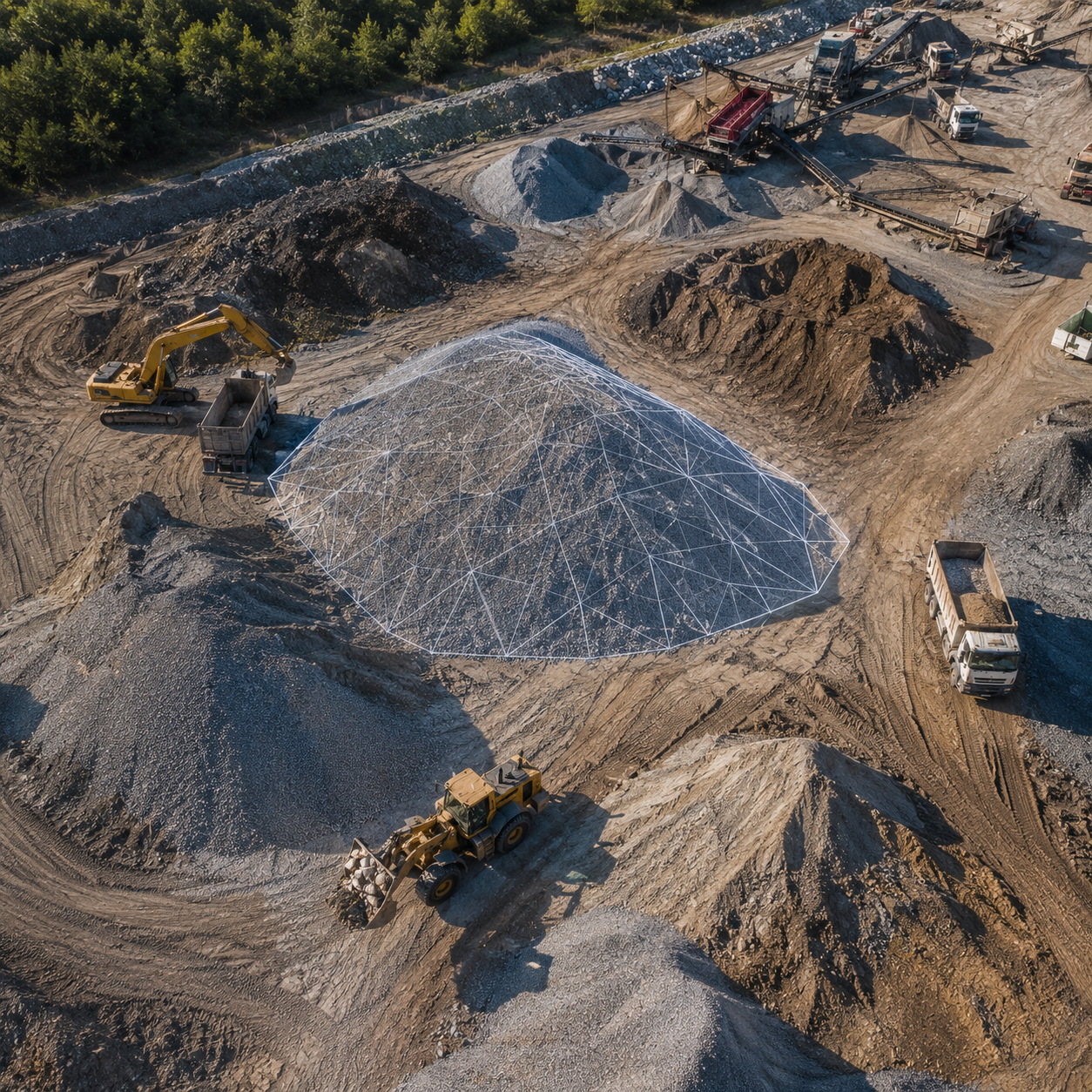
Photogrammetry-based stockpile and earthwork volumetrics.
Learn more
Real estate photos, videos and panoramic views for marketing or other purposes.
Learn more